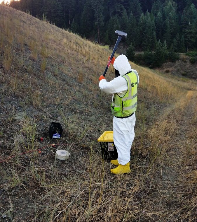
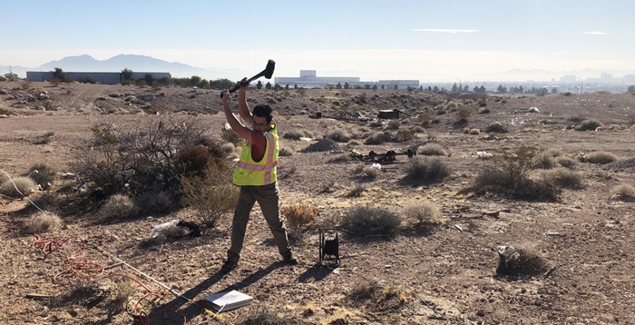
Geophysical Methods
Geophysical Methods
Olson offers a wide range of geophysical methods for investigating geologic and manmade subsurface conditions
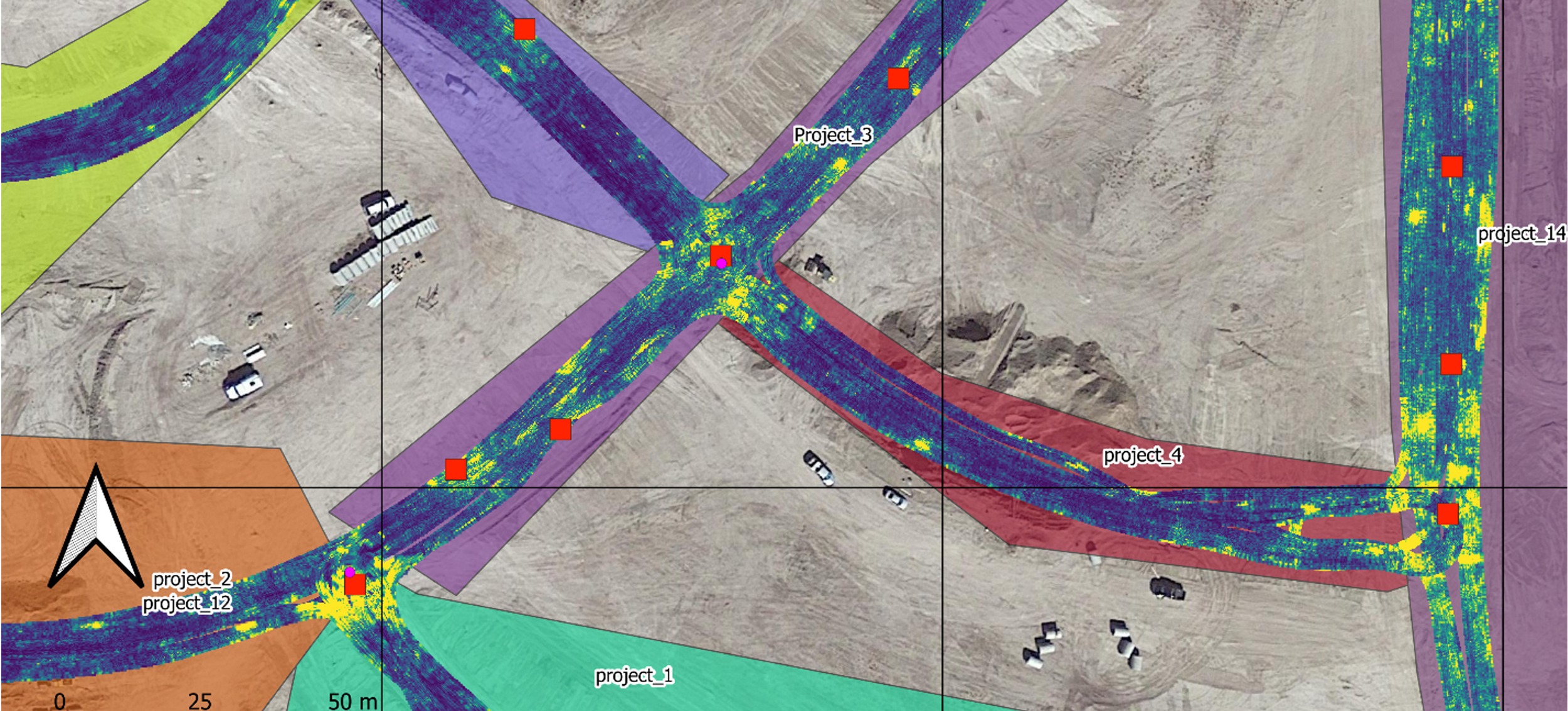
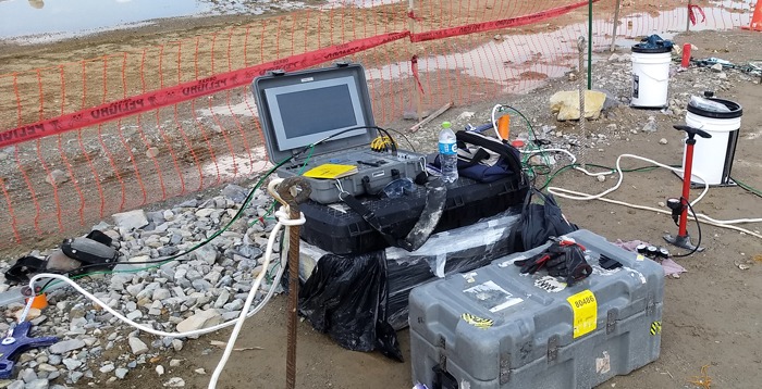
Geophysics is generally used in collaboration with other geologic, geotechnical, or environmental site data to provide details between, below, and beyond available drill hole data. Subsurface imaging can provide information on soil and rock properties, liquefaction potential, rippability and excavatability, subsurface conditions, groundwater conditions, IBC Site Classification (Vs30), ground quality assurance, construction quality control, buried obstacles, etc.
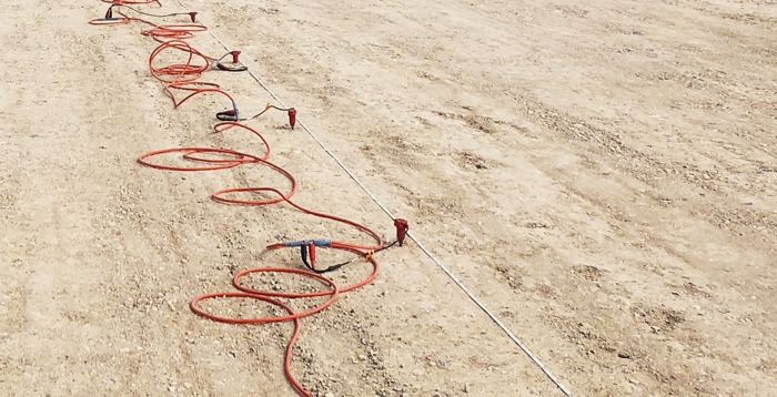
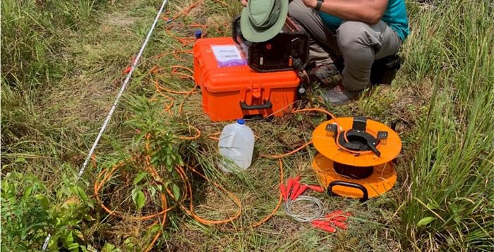
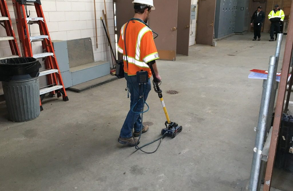
Electrical Resistivity
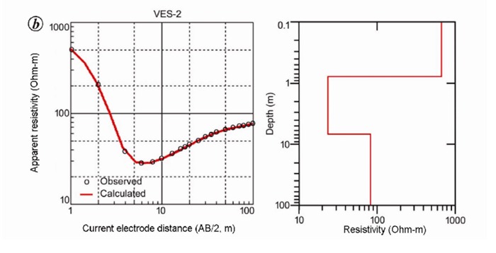
The Electrical Resistivity (ER) methods are used for locating and mapping groundwater sources, natural groundwater flow paths, groundwater contamination, and archeological remnants.
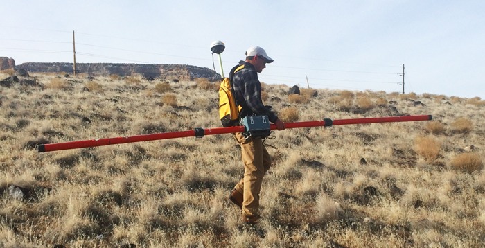
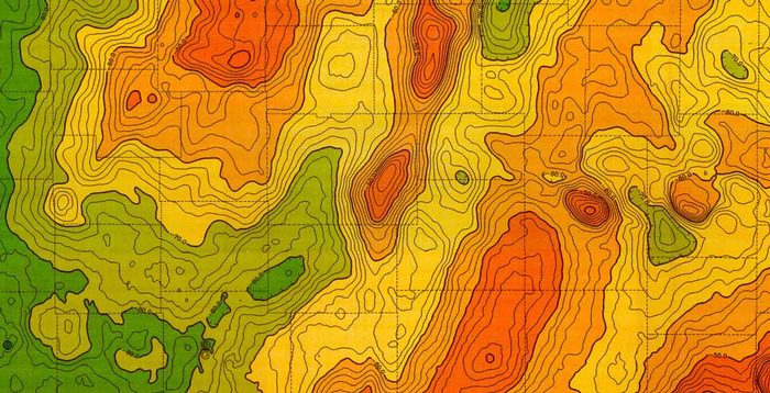
Gravity
Surveys
Gravity surveys are passive, non-invasive measurements of variations in the Earth’s gravitational field.
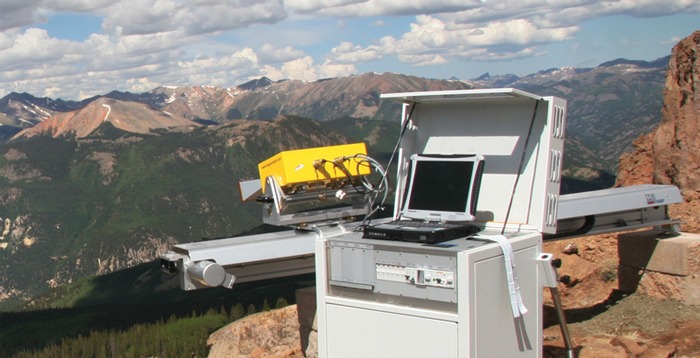
Interferometric Surveys
Olson Engineering has the equipment and expertise to offer remote monitoring by interferometric radar to measure movement at landslides, surface mining operations, earthen dams, areas of subsidence, glaciers/avalanches, and volcanoes.
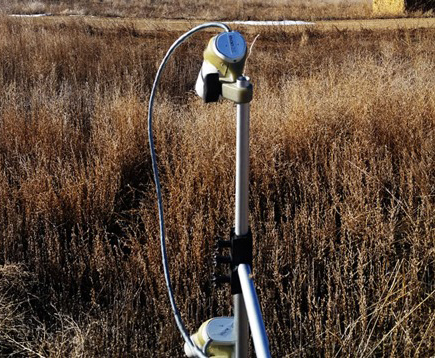
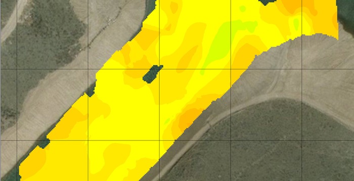
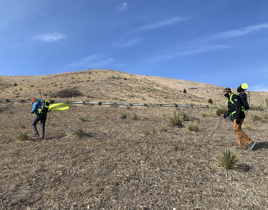
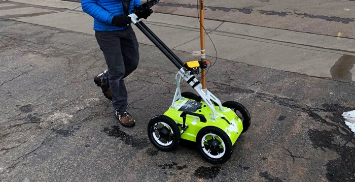
Magnetics
The magnetic geophysical method measures distortions in the Earth’s magnetic field caused by ferrous materials, such as steel, iron, or iron rich rocks and soil.