Environmental Geophysics
Environmental Geophysics
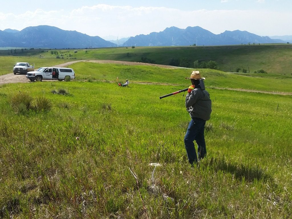
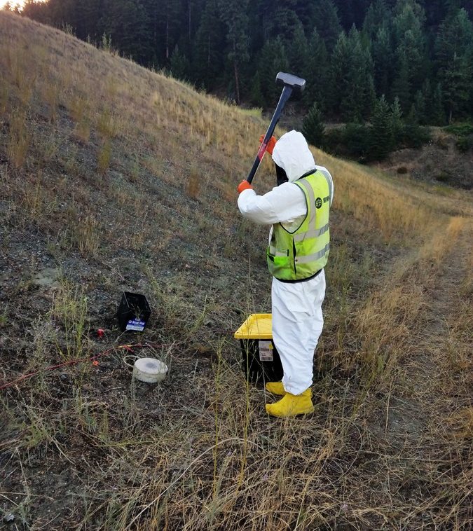
Olson performs geophysical investigations for environmental site surveys. Our clients’ needs range from detection of subsurface metallic objects and features prior to intrusive activities, imaging of geologic conditions conducive to contaminant migration, to addressing changes in the subsurface during remediation. Each site and each objective is always different for environmental projects. Many projects are very straight forward with detection of buried metallic objects, both large and small (e.g., UST, pipes, UXO/MEC). Some projects require very intricate methods to image complex geology or hydro-geologic characteristics involving the lateral or vertical transport of contaminants.
Rarely, are geophysical methods capable of direct detection of the contaminants; however, free product in the form of LNAPL or DNAPL can sometimes be imaged with the right subsurface conditions and the right application of methods, including even multiple geophysical methods. But at the low concentrations that many compounds are considered dangerous, or defined as contaminants of concern (COC’s), there is not sufficient contrast with the soil, rock or groundwater surrounding them to be successfully imaged using geophysical methods.
Olson successfully applies seismic, electrical, electromagnetic, magnetic, and ground penetrating radar geophysical methods for engineering applications. Our goal, on every project, is to meet or exceed the objectives. When it comes to complex engineering or geologic problems, it may be necessary to use multiple methods. Olson will work with you and the client owners to create a field program that is objective driven and budget conscious. We understand the need to be competitively priced, in order to help you win the program as a whole.
Applications of Sub-surfacing Imaging
- Underground Storage Tanks (UST)
- Abandoned drums, pipes, or concrete containers
- Utilities – hazardous or otherwise
- Ordnance – Unexploded Ordnance (UXO) or Munitions and Explosive of Concern (MEC)
- Lateral delineation of historic landfills
- Vertical imaging of landfill thickness
- Abandoned and covered / buried mud pits from oil well drilling
- Unknown geologic conditions (e.g., karst, faults, dipping layers)
- Abandoned oil wells
- Time lapse monitoring (4D) investigation for flow movement
- Abandoned Mine Lands (AML) – both coal and hard rock
- Leak detection for liners
- Acid Mine Drainage
- Radiometrics
- Spills or Free Product in the shallow subsurface