Engineering Geophysics
Engineering Geophysics
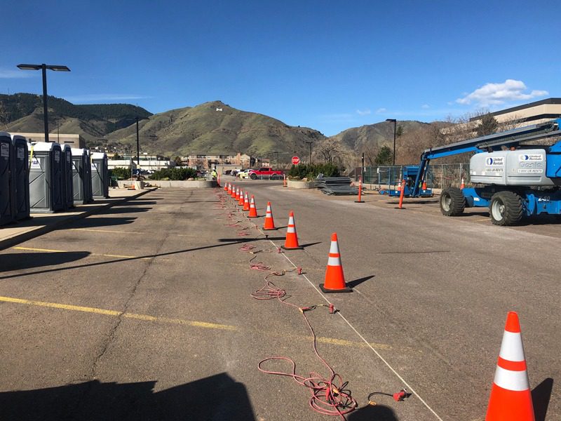
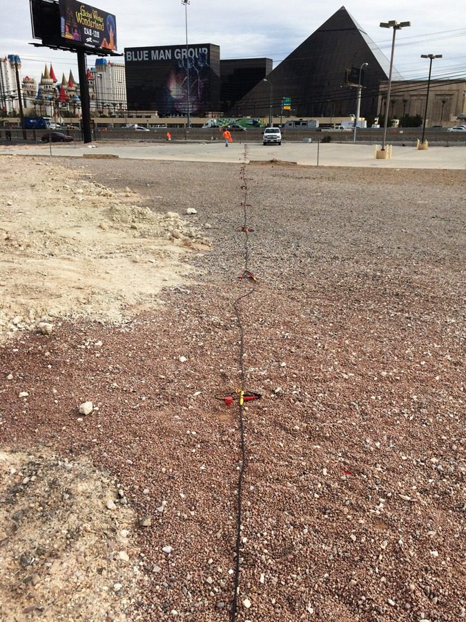
Olson performs geophysical investigations for civil structures, geotechnical site investigations, and geological characterization. Because of the cross-over between Olson’s Non-destructive Testing (NDT) and engineering geophysical service capabilities, our clientele can cover a broad spectrum of service needs from the scale of small structures to exploration scale geophysical investigations. Our specialty is to take the newest geophysical methods and apply them to new and old problems to maximize our client’s understanding of their site.
Our group of geophysicists at Olson has a wealth of experience conducting engineering geophysical project work. We enjoy the unique applications, difficult problems, use of state-of-the-art instrumentation and software to conduct safe and fulfilling field work. This is our bread-and-butter.
Olson successfully applies seismic, electrical, electromagnetic, magnetic, and ground penetrating radar geophysical methods for engineering applications. Our goal, on every project, is to meet or exceed the objectives. When it comes to complex engineering or geologic problems, it may be necessary to use multiple methods. Olson will work with you and the client owners to create a field program that is objective driven and budget conscious. We understand the need to be competitively priced, in order to help you win the program as a whole.
Applications of Sub-surfacing Imaging
- Depth-to-bedrock or thickness of overburden
- Geometry of bedrock
- Competency of bedrock – for foundation design or excavation needs (e.g., rippability)
- Lateral variability of soil stiffness
- Vertical variability of soil stiffness
- Low-strain elastic constants
- Presence (or absence) of caliche
- Presence of faults
- Depth to water table
- Dam stability
- Dam seepage
- Levee assessment
- Foundation and/or abutment characteristics for dams and levees
- IBC Site Classification – Vs30 (meters)
- Obstacles to construction – for pipelines, cut-off walls, MSE walls, utilities, or retention ponds
- Landslide and slope monitoring; slide plane detection
- Karst – in limestone and dissolution in gypsiferous bedrock settings
- Lithologic changes – lateral and vertical, particularly in soil deposits
- Reuse of foundations – particularly for bridges
- Man-induced collapse features (engineering failures)
- Quality control for ground improvement (e.g., DDC, soil-mix columns, or jet grouting)
- 1D, 2D or 3D assessment of small or large sites for geologic anomalies
- Permafrost thickness and stiffness
- Soil and bedrock characterization below active rivers